The 8th webinar of the LandAware 2026 webinar series, entitled “Lessons learned in landslide forecasting and warning during hurricanes Eta and Iota in 2020 in Nicaragua” by Carmen Gutiérrez (INETER, Managua, Nicaragua) is scheduled for 26 November 2026, at 16:00 Central European Time , 9:00 am local time, Central America.
Abstract
In 2020, Nicaragua was impacted by two tropical cyclones in a short period of 15 days. The cyclone ETA impacted with 4 category on November 3th and IOTA cyclone impacted the country with 4 category on 17th November.
Before the impact of ETA, the possible path was monitored in detail by the Instituto Nicaragüense de Estudios Territoriales (INETER). A landslide susceptibility map at national scale, showing possible critical sites was sent to the authorities, before the day of the impact. A group of INETER specialists was organized to pay special attention to this event. Continuous monitoring of the phenomenon began on November 1st by sending reports every 8 hours to national authorities. These reports included the sites where highest rain accumulation, high soil moisture was expected, showing, as well, the sites expected to be affected by landslides. Heavy rain from ETA affected large areas of the country, mainly the Costa Caribe North with values around 290.2 mm in 24 hours and in Rivas with values between 200 mm and 300 mm. These accumulated rainfall amounts triggered shallow landslides in Jinotega, Nueva Segovia and León.
The Sistema Nacional para la Prevención y Atención de Desastres (SINAPRED) conducted systematic monitoring, activated alert protocols in all municipalities and implemented contingency plans to send aid to the affected area. According to SINAPRED, almost 2 million people were exposed and 71,145 were evacuated before the impact of hurricane. The damage was concentrated in social infrastructure and forest cover.
Two weeks later, another hurricane impacted the country following a similar path to hurricane ETA. On November 17th the hurricane IOTA impacted the Nicaraguan territory. According to SINAPRED, more than 40,000 people were evacuated from the area directly affected by the hurricane.
The highest rainfall accumulation were recorded in Puerto Cabezas, with 297.7 mm in 24 hours; the rest of the country saw an average of between 100 and 200 mm. Due to the proximity of the two weather systems, high soil moisture levels and heavy rainfall caused flooding and many landslides in Jinotega, Madriz, Matagalpa and Managua. A major landslide occurred on Cerro Peñas Blancas, located in the municipality of la Dalia, Matagalpa.
The lessons learned before, during and after these hurricanes have been crucial for the improvement of the Nicaraguan monitoring and warning system. Important developments following these events were: the start of data automation, with the aim of producing emergency response reports more quickly; the further development of the national landslide database; and the preparation of systematic landslide inventory maps of the areas severely affected.
Bio
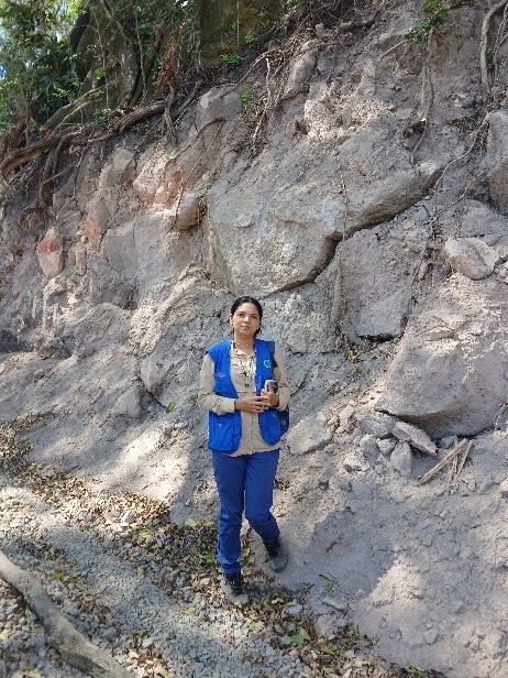
MSc. Carmen Gutiérrez is a Geological Engineer, working in geological hazards. She works at the Instituto Nicaragüense de Estudios Territoriales (INETER) and is the responsible of the Department of Applied Geology, in charge of landslide research, monitoring and follow up of landslides, erosion and sedimentation processes.
Her work focuses on susceptibility, hazard and risk evaluation and mapping, as well as monitoring and early warning system. She works closely to national and local civil defense authorities, as well as to municipality and communities, providing them recommendations and relevant landslide information and on landslide affected sites.