Categorie
News from members WG07 Operational LEWS

Seven years of landslide forecasting in Norway. Strengths and limitations

NEWS received from
Graziella Devoli – NVE, Norway

New conference proceedings “Seven years of landslide forecasting in Norway – Strengths and limitations”  presented at 5th World landslide Forum, Kyoto, Japan (WLF5 | World Lanslide Forum 5 (iplhq.org))

In this short paper, the authors summarize the experiences acquired by the Norwegian Landslide Forecasting and Warning Service during the first 7 years (between 2013 and 2019) of operation and discuss some of the main strengths and limitations of the service. The authors recognize that the major strengths of the service were the national political will (towards the creation of such of service), the assignation of the landslide forecasting service to an existing well consolidated flood warning service, the strong collaboration across public agencies and the multidisciplinary approach. The existence of a national landslide database and of an operational distributed hydrological model were essential for the rapid establishment of relationships between landslides events and hydro-meteorological conditions. A strong development of IT-tools and expansion of the meteorological and hydrological network was also crucial. Several are the challenges and limitations, among them: an insufficient process-understanding of rainfall- and snowmelt-induced landslides, the difficult and tedious task of verifying landslide occurrence after a warning is sent and, the prediction of landslides triggered by local intense rain showers during summer, and by rapid snowmelt events during winter, due to the limitations that exist in the models and thresholds currently in use.

Reference: Devoli G., Colleuille H., Sund M., Wasrud J. (2021). Seven Years of Landslide Forecasting in Norway—Strengths and Limitations. In: Springer Nature Switzerland AG 2021, N. Casagli et al. (eds.), Understanding and Reducing Landslide Disaster Risk, ICL Contribution to Landslide Disaster Risk Reduction, https://doi.org/10.1007/978-3-030-60311-3_30  (pages 267-274)

Categorie
News from members

Workshop on Slope Stability and Landslide Risk Management

NEWS received from
Michele Calvello

NGI, in cooperation with ISSMGE TC304 and TC309, organises a half-day Technical Forum on Slope Stability and Landslide Risk Management on 14 December 2021 (8:30-12:30 CET).

To advance the understanding of landslide hazard and risk, this Forum will provide a platform for academics and practitioners to share insights and experience gained from research and practice. The Forum focuses on four themes, namely (1) Probabilistic slope stability assessment, (2) Climate impact on slope stability and landslides, (3) Landslide mobility and (4) Landslide risk assessment and mitigation.

The event will be conducted in a virtual  mode. Participation at the event is free of charge, but registration is compulsory and should be completed online. 

Link to register

Categorie
News from members

New article on wildfire effects on debris flows and LEWS

NEWS received from
Davide Tiranti, Regional Agency for Environmental Protection of Piedmont region, Italy

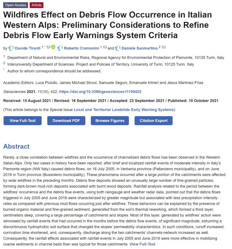
New article “Wildfires Effect on Debris Flow Occurrence in Italian Western Alps: Preliminary Considerations to Refine Debris Flow Early Warnings System Criteria” published in the special issue of Geosciences journal on “Local and Territorial Landslide Early Warning Systems

In this paper, two case studies in the Italian western Alps on the relationship between wildfires and debris flows occurrence have been analyzed to understand how to integrate this factor in the regional debris flow early warning system (DFEWS). To define these correlations, the authors conducted analyses to characterize changes in the conditions and behavior of catchments after wildfires. The Curve Number (CN) method was adopted to estimate hydrological variations before and after wildfires and identify the differences in catchments response to rainfall events, due to its simple applicability over a large number of catchments. Rainfall analyses, using both data from raingauges and weather radars to identify the actual distribution of precipitation intensity fields, were addressed. The case studies described have led to some interesting results, both regarding the understanding of the wildfires effects on debris flows triggering in small Alpine catchments and on the necessary technical and operational adjustments to improve the DFEWS performance in case of wildfire occurrence.

Reference: Tiranti D., Cremonini R., Sanmartino D. (2021) Wildfires Effect on Debris Flow Occurrence in Italian Western Alps: Preliminary Considerations to Refine Debris Flow Early Warnings System Criteria. Geosciences 11, 422. https://doi.org/10.3390/geosciences11100422

Categorie
News from members

New SHEAR publications introducing LEWS

NEWS received from
Mirianna Budimir, Practical Action, SHEAR Knowledge Broker

The Science for Humanitarian Emergencies and Resilience (SHEAR) programme funded by FCDO and UKRI NERC supports world-leading research to enhance the quality, availability and use of risk and forecast information.

SHEAR is delighted to share with you three complementary resources that bring together learning and knowledge from across SHEAR and published literature to provide an introduction to landslide early warning systems for practitioners, donors, and researchers in developing countries:

We hope these introductory guides are useful for the LandAware community. For further information on the SHEAR programme and associated landslide projects and publications, please visit http://shear.org.uk.

Categorie
News from members

New article: Landslide risk assessment considering socionatural factors

NEWS received from
Paulo Hader – São Paulo State University (UNESP)

New article: Risk cross-referencing for landslide risk assessment at a municipal scale, by Paulo Hader and co-authors from São Paulo State University, Brazil

This recently published paper proposes a model for landslide risk assessment at the municipal scale, useful for early waninrg purposes.
Three products, being rainfall thresholds, landslide susceptibility map and social vulnerability map were produced statistically. To couple them, the authors used a two-matrix approach, where in the first matrix the susceptibility map and the vulnerability map were crossed, constituting the socio-natural criterion; and in the second matrix, the rainfall thresholds were coupled to the socionatural criterion, allowing a real-time assessment.
The authors found that the model offers easy adaptation and calibration once new data emerges, as well as being able to be integrated into a landslide early warning system to make explicit the areas of highest degree of loss, where interventions can be made in advance to reduce the risk in specific areas.

Reference: Hader, P.R.P., Reis, F.A.G.V. & Peixoto, A.S.P. (2021) Landslide risk assessment considering socionatural factors: methodology and application to Cubatão municipality, São Paulo, Brazil. Natural Hazards
https://doi.org/10.1007/s11069-021-04991-4