Among several engaging sessions, a Special session on Landslides (Landslides: Processes, Hazard, and Risk) is organized by Tolga Görüm, Ugur Öztürk, Stefano Luigi Gariano, and George Papathanassiou. Among these broad themes, we want to particularly emphasize landslide prediction and early warning.
Hence, we invite you to submit an abstract to this MedGU25 special session.
Abstract submission deadline (1 page / max. 350 words) using this Template is 30th June 2025.
LARAM is an International School on “LAndslide Risk Assessment and Mitigation” of the University of Salerno. The School is held annually and is aimed at 40 PhD students and 10 young doctors selected every year from those working in the field of Civil Engineering, Environmental Engineering, Engineering Geology or with a similar Engineering background.
The LARAM School 2025 will be held in Salerno (Italy)from Monday 8 to Friday 19 September in person.
CANDIDATE PARTICIPANTS
The LARAM class will be composed of:
40 selected PhD students
Up to 10 young doctors (PhD defended not before 2020)
Participants pay their own travel and accommodation expenses, as well as a registration fee of Euro 300 (PhD students) or 450 (young doctors).
Deadline for PhD applications and young doctor registrations: May 25, 2024
The programme of the school will consist of 6-hour daily lectures and tutorials from Monday to Friday (details on the website). On Saturday, September 13, a field trip will be organized.
The programme is structured in the following sessions:
NEWS received from Cees van Westen (University of Twente, The Netherlands)
As part of the process to strengthen national capabilities in tracking disaster losses and damages, the United Nations Office for Disaster Risk Reduction (UNDRR) and its partners encourage the development of data standards and methodological frameworks. These frameworks will enable national actors to coherently record hazardous events and their impacts. This, in turn, will improve the understanding of disaster impacts and support multiple data applications, such as early warning, early action, and risk reduction efforts.
In this regard, the Faculty of Geoinformation Science and Earth Observation of the University of Twente (UT-ITC) will take the lead in conducting a study aimed at improving the cataloguing and impact recording of landslides. This study will provide valuable insights for national organizations responsible for collecting information on hazardous events. The aim is to develop an efficient and feasible reporting framework that can be used to characterize and evaluate landslide databases coherently and consistently across countries.
Ultimately, the findings will be published in a peer-reviewed journal, offering recommendations to enhance the processes and methods used in recording landslide events and their impacts.
We seek support from landslide experts from different countries and would like to ask you to contribute by filling out this questionnaire.
Thank you for your assistance! Cees van Westen, Luigi Lombardo, Hakan Tanyas, Ashok Dahal and David Urueña Ramirez
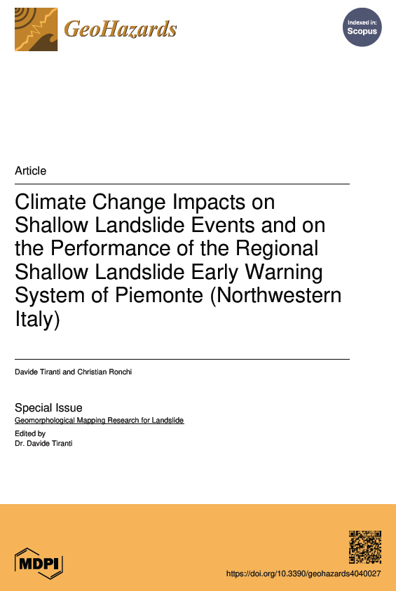
NEWS received from Maria Teresa Brunetti, Stefano Luigi Gariano, Massimo Melillo, Mauro Rossi, Silvia Peruccacci (CNR, Italy)
The availability of accurate data on landslide occurrence and the rigorous reconstruction of the rainfall conditions that trigger them are essential to improve landslide forecasting, particularly given the growing usage of data-driven landslide prediction models, also based on artificial intelligence.
In this context, we published e-ITALICA, an improved rainfall-induced landslide catalogue, as a result of meticulous data collection and analysis. e-ITALICA includes accurate spatial and temporal information on thousands of rainfall-induced landslides that occurred in Italy between 1996 and 2021 (which were already included in the ITALICA catalogue, previously published in 2023), the triggering rainfall conditions for these landslides, in terms of cumulative event rainfall E (mm) and rainfall duration D (h), and the topographic and land cover information. The triggering conditions were calculated using hourly rainfall measurements from 4000+ rain gauges and applying the CTRL-T software.
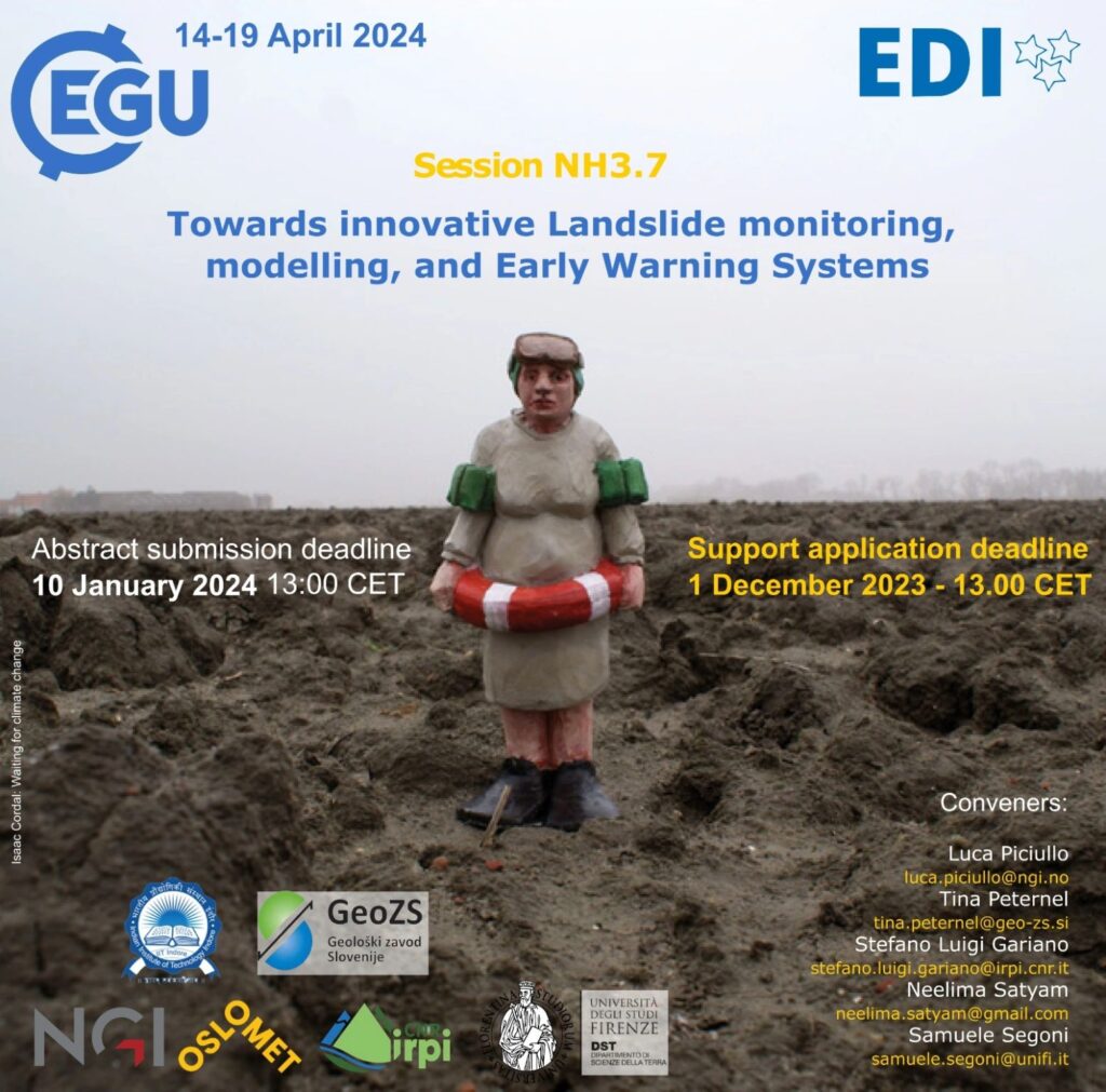
This session focuses on LEWS at all scales and stages of maturity, from prototype to active and dismissed ones. Test cases describing operational application of consolidated approaches are welcome, as well as works dealing with promising recent innovations, even if still at an experimental stage. Contributions addressing the following topics are welcome: – real-time monitoring systems (IoT) – prediction tools for warning purposes – in-situ monitoring instruments and/or remote sensing devices – warning models for issuing warning – operational applications and performance analyses – machine learning techniques applied for early warning purposes
The abstract submission deadline is 15 January 2025, 13:00 CET.
On-site participants who wish to apply for Roland Schlich travel support must be the contact author and the first and presenting author of their contribution. They must submit an abstract by 2 December 2024, 13:00 CET.
Dear colleagues, we’re introducing a NEW landslides session at EGU25: NH3.16 Linking weather-related landslide activity with hydro-meteorological drivers. Join us to explore how hydro-meteorological drivers at scales from soil pores to weather systems affect landslide activity and to discuss how we can leverage this knowledge to improve landslide situational awareness and early warning. We seek a wide range of perspectives from geomorphology, hydrology, meteorology, remote sensing, data science and beyond. Please spread the word and keep our session in mind as you prepare your EGU contributions.
We look forward to learning about your research in Vienna! Best wishes from the organizers, Lisa Luna, Corey Froese, Luca Piciullo, Yaser Peiro, Luca Ciabatta
The growing availability of multi-temporal landslide inventories, for example from multi-epoch LiDAR, InSAR, and monitoring, has precipitated a shift from static landslide susceptibility evaluations to a better understanding of both spatial and temporal variations in landslide activity. In parallel, the development of regional to global hydroclimatic models, re-analysis products, next generation remote sensing products, and compilations of in-situ observations (such as ERA5, SMAP-L4, and GSDR) is allowing researchers to obtain a broader understanding of the hydro-meteorological conditions that affect landslide activity: for example soil moisture, snow melt, precipitation, and meso and synoptic scale weather systems. Currently, researchers and practitioners are exploring how linkages between historical landslide activity and hydro-meteorological drivers can be integrated to improve data driven models for landslide situational awareness and early warning systems. This session seeks to bring together a wide range of perspectives from geomorphology, hydrology, meteorology, remote sensing, data science and beyond to share experiences and to spur future research advances and operational application development.
Subtopics may include: • Constructing multi-temporal landslide activity data sets utilizing remote sensing data and/or point source terrestrial data • Linking regional landslide activity trends and variability to hydro-meteorological, geological, morphological, or other conditions. • Evaluating the suitability of different hydroclimatic models, re-analysis datasets, remote sensing products, and in-situ observations to different landslide and terrain types or research objectives • Approaches to quantifying linkages between hydro-meteorological drivers and landslide activity • Development and testing of new algorithms and infrastructure, including machine and deep learning approaches, to support weather-related landslide situational awareness and warning
Dear colleagues (and apologies for any cross-posting),
We encourage you to submit an abstract to the technical session NH030: “Landslide Life Cycle: From Hazard Analysis to Risk Assessment” for the upcoming AGU Fall Meeting taking place 9-12 December 2024. This session has been running several years in a row and is the only broad session focusing specifically on landslides within the Natural Hazards section. We seek contributions that span the landslide life cycle, from understanding landslide hazards to communicating landslide science to reduce risk.
We have two invited speakers this year with unique and contrasting careers and perspectives on landslide hazards:
This year’s meeting will be held both in-person in Washington, D.C., USA for those able to attend, and online with options for interactive participation. Please share this message with anyone that you might know that would be interested in submitting to this session. Session information follows, please note abstracts are due by 31 July 2024 at 23:59 Eastern U.S. Daylight Time (EDT).
We hope to see you there – either in person or online. Warmest wishes, Conveners Ben Mirus (U.S. Geological Survey – Geologic Hazards Science Center) Thom Bogaard (Delft University of Technology) Luca Piciullo (Norwegian Geotechnical Institute) Lisa Luna (U.S. Geological Survey – Geologic Hazards Science Center)
———————————
NH030: “Landslide Life Cycle: From Hazard Analysis to Risk Assessment”
Landslide events have adverse and global consequences for human health and safety, infrastructure, economic activity, and natural resources. These hazards can accompany storms, earthquakes, volcanic eruptions, and wildfires, and may shift with climate and land-use change. Landslides can also cause their own cascading consequences like tsunami or river dams. New technologies and enhanced data analysis approaches have accelerated landslide mapping, monitoring, modeling, and outreach efforts, enabling improved characterization and communication of landslide processes and their societal impacts. This session brings together contributions that span the landslide life cycle, from understanding landslide hazards to communicating landslide science to reduce risk. We welcome a wide range of contributions on topics such as characterizing, mapping, and modeling recent or historical landslide events; susceptibility and risk modeling and communication; studies of individual hillslopes or regional scale efforts; rock and soil characterization; quantifying seismic, hydroclimatic, or other triggering mechanisms; and ground-based and remote monitoring.
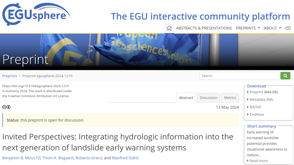
We would like to draw your attention to a new NHESS Invited Perspectives, which is now posted online. The paper focuses on lessons learned from our collective experiences with integrating hydrologic information into landslide forecasting models in different parts of the world, as well as ideas for future research needs and opportunities.
As with all EGUsphere articles, the paper is fully open access and free to read. We hope you will find it interesting and perhaps it can facilitate further discussions within the LandAware community. The preprint is open for discussion through June 24, and we would value your input whether formally or informally.
Slushflows are rapid mass movements of water-saturated snow. They release in gently sloping locations (<30°) and are hence not restricted to steep slopes. Slushflows are observed worldwide in areas with seasonal snow cover and pose a significant natural hazard in Norway. Hazard prediction and early warning are therefore crucial to prevent casualties and damage to infrastructure.
A regional early warning for slushflow hazard was established in Norway in 2013–2014 as the first of its kind in the world. It has been operational since then. Four main variables are central in the methodology used: ground conditions, snow properties, air temperature, and water supply to snow. Gridded forecasting model simulations in the decision-making tool Varsom Xgeo, real-time data from automatic stations, and field observations from the field are assessed. Based on data from historical slushflows, a water supply–snow depth by snow type ratio has been developed as an assessment tool. This approach can be implemented in other areas with slushflow hazard where the necessary input data are available.
Reference: Sund, M., Grønsten, H. A., and Seljesæter, S. Å.: A regional early warning for slushflow hazard, Nat. Hazards Earth Syst. Sci., 24, 1185–1201, https://doi.org/10.5194/nhess-24-1185-2024, 2024.
The webinar “Landslide Hazard Awareness – NASA and Pacific Disaster Center cooperation to support decision-making” is scheduled for April 11, 2024 in the following time slots:
Key objectives: Present Research Findings and showcase the partnership between NASA and the Pacific Disaster Center (PDC) in leveraging advanced technologies and data to improve landslide hazard assessment and decision-making processes. Introduce participants to the various tools, platforms, and resources developed through the collaboration between NASA and the PDC, such as landslide risk maps, and decision support tools.
Expected outcomes: At the end of the webinar, it is expected that participants will have gained a better understanding of the actions and strategies implemented by the organizations involved in the region and that concrete opportunities for future collaboration will have been identified. In addition, it seeks to foster a renewed commitment to risk reduction and resilience in Central America.
Expected audience: The webinar is open to all LandAware associates in particular those from the LatinAmerica region or working with landslide early warning systems in the region. The webinar is aimed in particular at the network on landslides in Central America made up of experts from official institutions in Central American countries, such as INSIVUMEH of Guatemala, INETER of Nicaragua, SGR of Costa Rica, SINAPROC of Panama, COPECO of Honduras, and MARN of El Salvador.
Next steps – After the webinar: A monitoring process will be carried out that will include preparing a report with the conclusions and recommendations that emerged during the event. In addition, the possibilities of establishing working groups or joint projects will be explored to advance risk reduction in the region.
Organizers: Ricardo Quiroga: NASA Disasters Coordinator Graziella Devoli: LandAware EC member/Norwegian Water Resources and Energy Directorate (NVE)