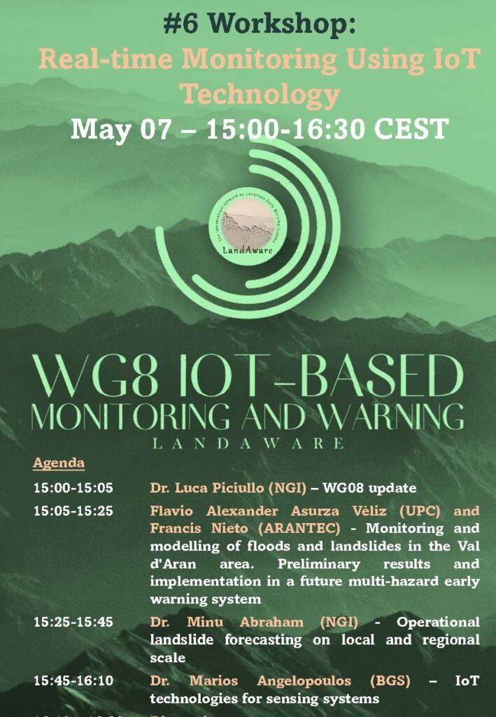
The recordings of the webinar by NASA and Pacific Disaster Center on Landslide Hazard Awareness held on April 11, 2024 (info here) can be found on the LandAware YouTube channel:
News received from
Monica Sund (NVE, Norway)
A new article entitled “A regional early warning for slushflow hazard” was recently published in the Natural Hazards and Earth System Sciences Journal.
Slushflows are rapid mass movements of water-saturated snow. They release in gently sloping locations (<30°) and are hence not restricted to steep slopes. Slushflows are observed worldwide in areas with seasonal snow cover and pose a significant natural hazard in Norway. Hazard prediction and early warning are therefore crucial to prevent casualties and damage to infrastructure.
A regional early warning for slushflow hazard was established in Norway in 2013–2014 as the first of its kind in the world. It has been operational since then. Four main variables are central in the methodology used: ground conditions, snow properties, air temperature, and water supply to snow. Gridded forecasting model simulations in the decision-making tool Varsom Xgeo, real-time data from automatic stations, and field observations from the field are assessed. Based on data from historical slushflows, a water supply–snow depth by snow type ratio has been developed as an assessment tool. This approach can be implemented in other areas with slushflow hazard where the necessary input data are available.
Reference: Sund, M., Grønsten, H. A., and Seljesæter, S. Å.: A regional early warning for slushflow hazard, Nat. Hazards Earth Syst. Sci., 24, 1185–1201, https://doi.org/10.5194/nhess-24-1185-2024, 2024.
Some photos of the LandAware get-together dinner during EGU24
The webinar “Landslide Hazard Awareness – NASA and Pacific Disaster Center cooperation to support decision-making” is scheduled for April 11, 2024 in the following time slots:
1:00 p.m-2:30 p.m. (EST)
11:00 a.m. 12:30 p.m. (Centro América)
7:00 p.m.-8:30 p.m. (CEST)
To join the webinar use the following link
Key objectives:
Present Research Findings and showcase the partnership between NASA and the Pacific Disaster Center (PDC) in leveraging advanced technologies and data to improve landslide hazard assessment and decision-making processes. Introduce participants to the various tools, platforms, and resources developed through the collaboration between NASA and the PDC, such as landslide risk maps, and decision support tools.
Expected outcomes:
At the end of the webinar, it is expected that participants will have gained a better understanding of the actions and strategies implemented by the organizations involved in the region and that concrete opportunities for future collaboration will have been identified. In addition, it seeks to foster a renewed commitment to risk reduction and resilience in Central America.
Expected audience:
The webinar is open to all LandAware associates in particular those from the LatinAmerica region or working with landslide early warning systems in the region. The webinar is aimed in particular at the network on landslides in Central America made up of experts from official institutions in Central American countries, such as INSIVUMEH of Guatemala, INETER of Nicaragua, SGR of Costa Rica, SINAPROC of Panama, COPECO of Honduras, and MARN of El Salvador.
Next steps – After the webinar:
A monitoring process will be carried out that will include preparing a report with the conclusions and recommendations that emerged during the event. In addition, the possibilities of establishing working groups or joint projects will be explored to advance risk reduction in the region.
Organizers:
Ricardo Quiroga: NASA Disasters Coordinator
Graziella Devoli: LandAware EC member/Norwegian Water Resources and Energy Directorate (NVE)
Presenters:
Thomas Stanley LinkedIn
Greg Hampe LinkedIn
Robert Emberson LinkedIn
Duration: 90 minutes
Agenda:
- Introduction. 10 min. Robert Emberson and Graziella Devoli
- LHASA Model features and evolution. 15 min. Thomas Stanley
- PDC Disaster Aware. 45 min. Greg Hampe
- Q&A. 20 min
As we did in 2022 and 2023, we would like to take advantage of the fact that some LandAware members will be in Vienna at #EGU24 in April… to get together for one evening, to meet and talk in person.
We chose Thursday, April 18, 2024, because that’s the day the session on landslides early warning systems (NH3.7 Towards innovative landslide monitoring, modelling, and early warning systems) is scheduled, thus we are assuming that if you will attend EGU24 , you will most likely be in Vienna on that evening.
The get-together will be an informal dinner with good Austrian beer, self-funded by the participants (unfortunately LandAware doesn’t have any funding to manage), in a restaurant/brewery: Salm Brau. We suggest we meet there at 7:30 PM.
If you are in Vienna on that day, and you like the idea, we ask you to FILL THIS FORM as we need to know in advance the number of people participating (a reservation is necessary in that place).
Looking forward to seeing you in Vienna!
NEWS received from
Michele Calvello (University of Salerno, Italy)
The “LEWS fact sheets” is an ongoing project of the eLearning Working Group, aiming to highlight, in a single page, the main characteristics of operational landslide early warning systems. Go to the dedicated web page (https://www.landaware.org/lews-fact-sheets/) to see the fact sheets produced and published so far.
The latest fact sheet produced and uploaded deals with “Alerta Rio” the municipal system operating in Rio de Janeiro (Brazil), which has been operational since 1996. Enjoy learning how it works.
Note: Are you a LEWS manager wanting your system to gain visibility by means of “our” fact sheets? Are you a LandAware member wanting to help us in creating new fact sheets? Do not hesitate to contact Michele Calvello or Anne Felsberg.
NEWS received from
Davide Tiranti (Regional Agency for Environmental
Protection of Piemonte, Italy)
A new article entitled “Climate Change Impacts on Shallow Landslide Events and on the Performance of the Regional Shallow Landslide Early Warning System of Piemonte (Northwestern Italy)” was recently published in the GeoHazards journal.
Shallow landslides are responsible for more than 50% of causalities due to landslides in northwestern Italy in the last century. The aim of the research study presented here is focused on understanding if and how climate change influences the occurrence and behavior of this landslide type. A total of 120 widespread shallow landslide events have been analyzed from 1960 to 2019, taking into account the spatial and time distribution in association with related rainfall historical data elaborated by the Optimal Interpolation (OI) model. Results underline that shallow landslide events’ number (aggregated per five-year intervals) is characterized by a weak trend consisting of a slight increase in the Alps and a more pronounced decrease in the hilly and Apennines environments. In addition, the trend of the annual accumulated rainfall average shows a weak drop in the winter season of about 9 mm in ten years. Moreover, the rainy days have generally decreased over the hills and Apennines, while in the Alps, only in the summer season, with a decreasing rate of about 1.5 days every ten years. The rainfall trends are in accordance with those of shallow landslide events, pointing out the close and direct dependence of the shallow landslide events on the rainfall regime variations. The results obtained were also used to validate the robustness of the performance of the Regional Shallow Landslide Early Warning System adopted in Piemonte over the investigated period, confirming the effectiveness of the trigger thresholds used for the entire historical series and for different geographical areas.
Reference: Tiranti D., Ronchi C. (2023) Climate Change Impacts on Shallow Landslide Events and on the Performance of the Regional Shallow Landslide Early Warning System of Piemonte (Northwestern Italy). GeoHazards 2023, 4(4), 475-496;
https://doi.org/10.3390/geohazards4040027
A new Special Issue entitled “Landslide Research: State of the Art and Innovations” in the GeoHazards journal is currently open for contributions. The Special Issue is guest-edited by Davide Tiranti.
https://www.mdpi.com/journal/geohazards/special_issues/U728W8F9ZX
The purpose of this Special Issue is to collect and group together quality scientific papers on these research fields and derived practical/operational applications.
The topics related to the Special Issue therefore concern the innovative methodologies to achieve landslides identification, classification, characterization and hazard/risk evaluation through geomorphological field surveys and studies, remote sensing applications, GIS data mapping, processing and representation, the analysis of predisposing and triggering factors, landslide early warning systems implementation and the impact of current and future climate change scenarios on the evolution of these
phenomena.
NEWS received from
Luca Piciullo (NGI, Norway)
The next International Society for Soil Mechanics and Geotechnical Engineering (ISSMGE) – TC220 Field Monitoring in Geomechanics series of international lectures will take place on Friday 26th of January 2024 at 11:00 CET. It will be given by Dr. Luca Piciullo, with a lecture on “A fully operational IoT-based real-time slope stability analysis for an unsaturated slope in Norway”. This is the fifth in this very successful series of lectures.
The lecture will be introduced by Dr. Neelima Satyam.
To join the lecture, please use the following link: https://lnkd.in/g8Cn_W2D or scan the QR code.
The recording of the presentation on the failure prediction and hazard management of the “Insel” rockslide compartment at Brienz/Brinzails (Eastern Switzerland) held on 18 January 2024 by Simon Löw is online on the LandAware YouTube channel.
NEWS received from
Luca Piciullo (NGI, Norway)
The call-for-abstracts of EGU General Assembly 2024 is open!
#EGU24 will be held in Vienna, Austria, and online on 14-19 April 2024.
Don’t miss the chance to submit an abstract to our session entitled Towards innovative Landslide monitoring, modelling, and Early Warning Systems!
Contributions addressing the following topics are welcome:
– conventional and innovative slope-scale monitoring systems for early warning purposes
– conventional and innovative regional prediction tools for warning purposes
– innovative on-site instruments and/or remote sensing devices implemented in LEWS
– warning models for warning/alert issuing
– operational applications and performance analyses of LEWS
– communication strategies
– emergency phase management
The abstract submission deadline is 10 January 2024, 13:00 CET.
More info at: https://meetingorganizer.copernicus.org/EGU24/session/48551
Conveners:
Luca Piciullo,
Tina Peternel,
Stefano Luigi Gariano,
Neelima Satyam,
Samuele Segoni